Drones for Construction: Uses, Benefits, and Site Monitoring
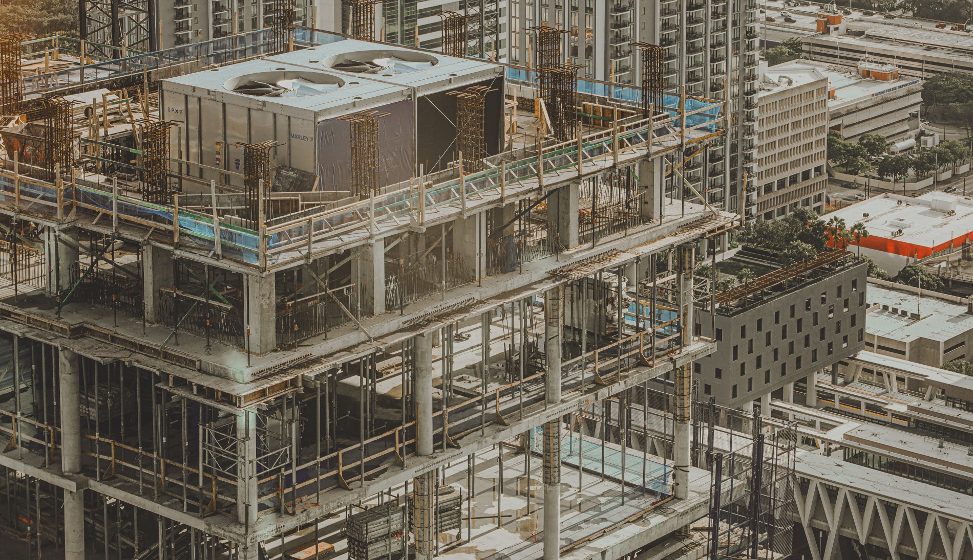
2026/11/01A construction site can change before the next coffee break—so a weekly walk-through won’t always tell the whole story. Drones for construction give you an overhead view of active work, help track progress, and capture imagery for select surveying and inspection tasks. What they can do depends on the drone, its positioning system, and the software behind it. This article explores practical jobsite uses, how to choose the right gear, where 360° remote monitoring fits, and which flight rules to check before takeoff.
How Are Drones Used in Construction?
A drone can help with several construction tasks, but each calls for different equipment and deliverables. Photos document visible conditions; maps and measurements require more specialized tools. These five applications show where an aerial view can support your team.
Site Surveying and Mapping
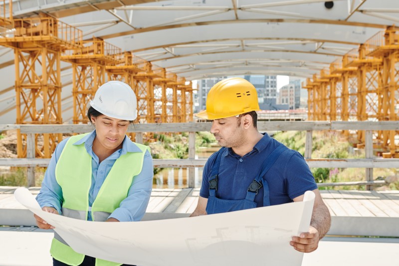
When you need an overview of a new site, a mapping drone can capture overlapping photographs across the area. Photogrammetry software stitches those images into an orthomosaic (a detailed overhead map) and can also build a 3D surface model. Survey teams use these outputs to review site layouts, access routes, and changes in terrain.
For surveys that require defined accuracy, check the drone's positioning capabilities, use ground control points when appropriate, and have a qualified surveyor validate the results. Some systems support RTK (real-time kinematic) positioning, but that feature alone doesn't guarantee survey-grade data. A regular aerial video or 360° recording cannot supply those measurements on its own.
Construction Progress Photography
Construction progress photography creates a dated visual history of a project. Plan regular flights around the same work areas, approximate angles, and camera settings. Organize the files by date and location, then compare stages of excavation, structural work, or exterior finishing. Matching views make changes easier to spot, especially when multiple trades share a site.
These images can support milestone reviews and discussions about visible work completed during a particular period. They're useful evidence of site conditions, but they won't establish the quality of work hidden behind walls or beneath finished surfaces. Ground-level photos may still capture details that aerial images miss.
Earthwork and Stockpile Volume Estimates
On earthmoving projects, drone mapping can help estimate stockpile volumes and changes in ground levels. Your team captures images with enough overlap for processing software to build a surface model and calculate approximate material quantities. Comparing models from different dates can help you track excavation and fill progress.
These estimates rely on image coverage, positioning, ground reference data, and processing quality. Ask your surveyor to confirm acceptable tolerances before you use the numbers for engineering decisions, payment quantities, or contractual records. Use consistent site boundaries and reference points when you compare estimates from one survey date to another.
Visual Inspections and Safety Checks
Aerial cameras can help you examine roofs, facades, steelwork, and other areas that are difficult to reach from the ground. An inspector can review the footage for visible damage, incomplete exterior work, or locations that deserve a closer look. Certain tasks also benefit from thermal imaging, provided the drone carries a suitable sensor and conditions allow meaningful readings.
A flight may reduce the need for some elevated access, but you still need to manage the hazards that a drone introduces. Watch for cranes, power lines, wind, and nearby workers. Use aerial images to help plan inspections, then arrange hands-on testing or professional sign-off wherever the job requires it.
Site Monitoring and Remote Coordination
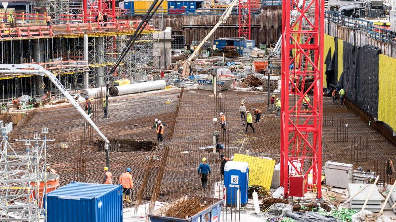
An overhead review can help you check access roads, material storage areas, temporary fencing, and equipment positions before a coordination meeting. If your client or project manager works off-site, sharing recent footage can give everyone a consistent view of conditions that the camera recorded. You might schedule flights after major deliveries, storms, or changes to site access.
Treat that footage as context for discussions with the crew. It cannot explain every delay or show work behind an obstruction. On large sites, panoramic video can help remote reviewers explore more of the surrounding scene from each recorded position.
How to Choose a Drone for Construction Work
When comparing drones for construction, start with the output you need. A setup that delivers clear video may not have the camera, positioning tools, or processing workflow for accurate mapping. Before you buy equipment or hire an operator, match the task to the technology and how your team will use the results.
For surveys and volume estimates: Look for overlapping-image capture, suitable positioning, mapping software, and a way to verify accuracy. Depending on the job, ground control or RTK support may matter more than video resolution.
For construction progress photography: Prioritize consistent image quality, repeatable flight planning, and a file system that makes dates and viewpoints easy to compare. Clear labeling matters once your project has months of photos.
For visual inspections and remote reviews: Check camera detail, available zoom or thermal options for the task, safe operating distances, and ways to share recordings. Panoramic footage can provide context across several directions.
Also account for pilot training or contractor costs, batteries, software, and storage. Weather, airspace restrictions, and active equipment may limit when you can fly. If you're introducing drone use in construction for the first time, test one repeatable workflow and ask the people reviewing the output whether it answers their questions.
360 Drone Documentation in Practice
A conventional drone shot captures one direction at a time. With 360° footage, you can look around the recorded scene after the flight, which is useful when remote colleagues need to examine areas outside the original camera angle. Buildings and equipment can still block parts of the view.
On large construction projects, bringing everyone to the site for an update isn't always practical. The Tokyu Construction case study offers an example of how 360° footage can support remote coordination. The company's workflow involves three stages:
Capture: On-site teams use the Antigravity A1 to record 8K 360° aerial footage. Its invisible stitching keeps the drone out of the panoramic view.
Share: The team uploads the footage to Nossa360, a cloud-based platform for remote site monitoring and communication.
Review: Colleagues join a shared session, explore different parts of the recorded site, and discuss their observations. The platform also generates an insight report from their collaboration notes.
The shared footage gives everyone a common visual reference when discussing site conditions, even when they cannot visit in person.
Rules for Flying Drones on Construction Sites
Most construction drone operations in the United States fall under the FAA's Part 107 rules. Before flying on an active jobsite, make sure you've covered these requirements:
Pilot certification: A certificated remote pilot in command must oversee construction flights. Check the Part 107 certification requirements before assigning an operator.
Registration and Remote ID: Register each drone you use for Part 107 work, regardless of weight. Registration costs $5 per drone and lasts three years. Check that your drone also meets applicable Remote ID requirements.
Airspace authorization: Check for airspace restrictions and obtain FAA authorization when necessary, particularly near airports.
Flight visibility and people: Keep the drone within visual line of sight. If you use FPV goggles, arrange a visual observer who can see the drone directly. Flights over workers must meet the applicable FAA requirements.
Jobsite safety: Coordinate with the site superintendent, choose safe takeoff and landing areas, and plan flight paths around cranes, power lines, moving equipment, and workers.
For current Part 107, Remote ID, and operations-over-people requirements, consult the FAA's commercial drone operating guidance.

Conclusion
Drones for construction can help you document progress, examine hard-to-reach exterior areas, and collect aerial images for mapping and material estimates. The best workflow starts with the result you need: repeatable photos, useful site footage, or verified measurements. Choose equipment that fits that task, agree on a schedule for capturing and sharing records, and plan each flight around the site's operating conditions and safety rules.
FAQ
Can a 360 Drone Replace Construction Surveying Equipment?
No. A 360 drone can give you a detailed visual overview of a jobsite, but panoramic footage alone doesn't provide survey-grade coordinates, elevations, or dependable cut-and-fill quantities. If your project requires measurements, use a suitable mapping system and processing workflow, and ask a qualified surveyor to verify accuracy. You can still keep a 360 visual record alongside the survey to help colleagues understand where a particular observation took place.
Can You Fly a Drone Over Workers on a Construction Site?
Not automatically. Construction workers don't all count as participants in a drone operation simply because they're on the jobsite. Flights over people must meet the applicable operating conditions or qualify for an appropriate FAA waiver. Plan routes that avoid uninvolved workers, coordinate with the site superintendent, and pause the flight if people enter an area you cannot safely overfly.
Are Drones for Construction Worth It for Small Crews?
They can be, particularly if your team regularly needs progress photos, exterior checks, or visual updates for clients who can't visit. Start by estimating how often you'll fly and who will review the footage. Then consider training or contractor fees, software, storage, and site access. For occasional projects, hiring a qualified drone operator may make more sense than owning equipment. The deciding factor is how often the records help your crew complete a real task.